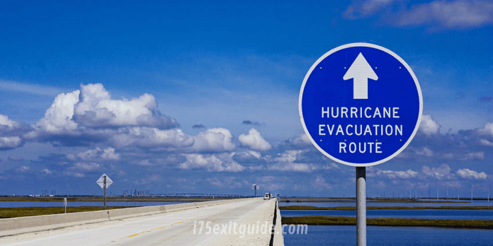
Today, Governor Ron DeSantis provides the following updates on Hurricane Milton.
As of 11:00 a.m. ET, Hurricane Milton is located about 190 miles southwest of Tampa, Florida with maximum sustained winds of 145 mph. Milton will move across the eastern Gulf of Mexico today, make landfall along the west-central coast of Florida late tonight or early Thursday morning, and move off the east coast of Florida over the western Atlantic Ocean Thursday afternoon.
Hurricane Warning: Brevard, Charlotte, Citrus, DeSoto, Flagler, Hardee, Hernando, Highlands, Hillsborough, Indian River, Lake, Lee, Levy, Manatee, Marion, Okeechobee, Orange, Osceola, Pasco, Pinellas, Polk, Putnam, Sarasota, Seminole, St. Johns, St. Lucie, Sumter and Volusia counties.
Hurricane Watch: Clay, Collier, Dry Tortugas, Duval, Glades, Hendry, Lake Okeechobee, Martin and Nassau counties.
Tropical Storm Warning: Alachua, Baker, Bradford, Broward, Clay, Coastal Franklin, Coastal Jefferson, Coastal Wakulla, Collier, Columbia, Dixie, Duval, Gilchrist, Glades, Hendry, Lafayette, Martin, Miami-Dade, Monroe (Mainland & Keys), Nassau, Palm Beach, Suwannee, Taylor and Union counties.
Tropical Storm Watch: Hamilton, Inland Jefferson and Madison counties.
Storm Surge Warning: Levy/Citrus County Line through Mainland Monroe; East Coast through Brevard County.
The State Assistance Information Line is now open and accepting calls 24/7 at 1-800-342-3557.
Governor DeSantis issued Executive Order 24-215, amending EO 24-214 and declaring a state of emergency for 51 counties.
What’s happening on Interstate 75 RIGHT NOW! I-75 Real-time traffic information for selected cities along I-75. Maps show updates on road construction, traffic accidents, travel delays and the latest traffic speeds. Traffic cameras show congestion at a glance. Visit I-75 Traffic.
The I-75 Exit Guide is the Internet’s largest and most complete website dedicated to Interstate 75 travelers. Find detailed exit service listings… lodging, camping, food, gas and more for every exit from Michigan to Florida!
On the road? Why not take us with you. The I-75 Exit Guide is mobile-friendly and totally FREE. No App Required.
Traveling another route? Visit our growing family of exit guides: I-4 Exit Guide, I-5 Exit Guide, I-10 Exit Guide, I-75 Exit Guide, I-80 Exit Guide and I-95 Exit Guide. Detailed exit service listings… discount lodging, camping, food, gas and more for every exit along the way!


