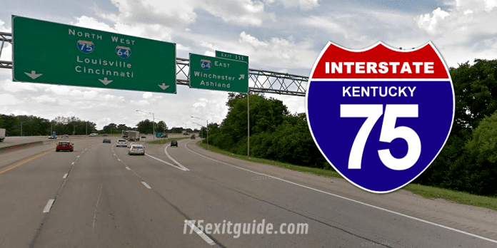
The Kentucky Transportation Cabinet (KYTC) advises that lanes are now open on I-75. The project limits for the asphalt resurfacing project were between Man O War Boulevard (milepoint 107.445) and the Clays Ferry Bridge (milepoint 97.865). This is a total of 09.58 miles and included both North and Southbound directions.
In addition to resurfacing, drainage work, rumble strip application, striping and shoulder alignment were finished. Items to be completed for the project include installation of signage and piezoelectric traffic sensors. The sensors collect and measure data for the ADT (Average Daily Traffic count)
All work/closures are scheduled on a tentative basis, and subject to change depending on weather conditions, emergencies and other factors beyond the control of the Department of Highways.
What’s happening on Interstate 75 RIGHT NOW! I-75 Real-time traffic information for selected cities along I-75. Maps show updates on road construction, traffic accidents, travel delays and the latest traffic speeds. Traffic cameras show congestion at a glance. Visit I-75 Traffic.
The I-75 Exit Guide is the Internet’s largest and most complete website dedicated to Interstate 75 travelers. Find detailed exit service listings… lodging, camping, food, gas and more for every exit from Michigan to Florida!
On the road? Why not take us with you. The I-75 Exit Guide is mobile-friendly and totally FREE. No App Required.
Traveling another route? Visit our growing family of exit guides: I-4 Exit Guide, I-5 Exit Guide, I-10 Exit Guide, I-75 Exit Guide, I-80 Exit Guide and I-95 Exit Guide. Detailed exit service listings… discount lodging, camping, food, gas and more for every exit along the way!


